New Nautical Charts Improve Navigation Safety Around Svalbard
Posted: 26 May. 2025
Posted: 26 May. 2025
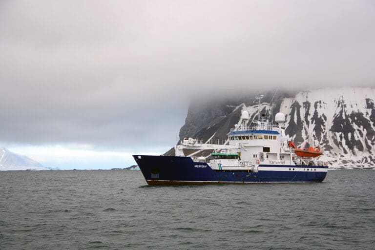
Navigating the remote waters of Svalbard just became safer and more efficient. The Norwegian Mapping Authority (Kartverket) has released new electronic and paper nautical charts covering the waters around Nordaustlandet, an area that was previously poorly mapped or lacked depth data entirely.
For the first time, vessels now have access to a clearly defined sailing corridor around Nordaustlandet. This updated route features verified depth information, making it possible to plan safer and more predictable voyages in one of the most isolated and weather-sensitive parts of the Arctic.
“This enhancement allows ships to travel more safely and swiftly to and from the area, especially when weather and ice conditions change unexpectedly,” said Gudmund Jønsson, Acting Director of the Norwegian Mapping Authority, Hydrographic Service.
Svalbard’s waters are known for unpredictable fog, wind, strong currents, and rapidly changing sea ice. These challenges make high-quality charts essential, particularly in remote areas like the Hinlopen Strait and the waters east of Nordaustlandet.
“The waters around Nordaustlandet and the Hinlopen Strait are among the most challenging and inaccessible areas, far from populated regions and subject to rapid weather shifts and difficult ice conditions. Having updated and detailed depth data here is a major boost for maritime safety. Accurate nautical charts are crucial for safe navigation and reducing the risk of accidents in areas where assistance may be far away. The Norwegian Coastal Administration (Kystverket) is very pleased with the Mapping Authority’s priorities and the excellent collaboration we’ve had in this work,” said Erik Blom, Pilot Director at the Norwegian Coastal Administration.
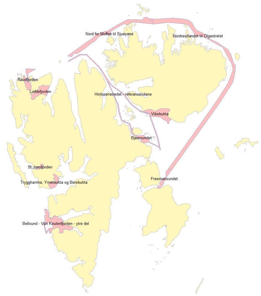
The update includes both electronic navigational charts (ENCs) and three new paper charts at a 1:100,000 scale. These new main charts cover:
The ENCs also provide improved details in critical areas like Bjørnsundet and Freemansundet, enhancing navigational safety in channels between Barentsøya and Edgeøya.
Despite this progress, large parts of Svalbard’s waters remain either poorly mapped or completely uncharted. The Norwegian Mapping Authority continues to prioritize mapping efforts based on traffic patterns and input from stakeholders such as the Norwegian Coastal Administration, as well as the needs of the cruise and fishing industries.
The Norwegian Mapping Authority is prioritizing hydrographic surveying of waters around Svalbard this summer, with mapping expeditions taking place from mid-June to the end of September.
The 2024 summer expedition in Svalbard was extended to fourteen weeks, during which the Norwegian Mapping Authority managed to map most of the prioritized areas.
The waters the Mapping Authority’s Hydrographic Service has prioritized to map in 2022, 2024 and 2025 are located in:
Updated electronic charts can be viewed via the Norwegian Mapping Authority’s online map portal by selecting the background map options “elektronisk sjøkart” or “sjøkart oppdatert”.